
Archive Record
Images
Metadata
Title |
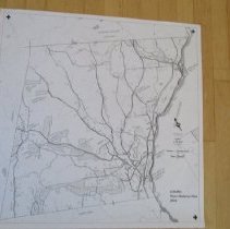
Historic maps of Norwich on acetate |
Object Name |
Map |
Catalog Number |
2019.2.1 |
Year Range from |
1761 |
Year Range to |
2016 |
Scope & Content |
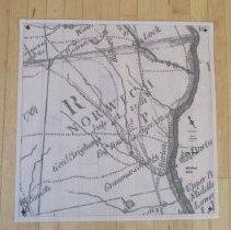
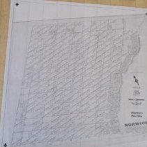
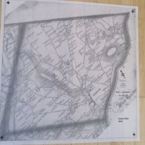
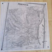
5 maps, 4 on acetate of historic maps of Norwich: Proprietors' (1761), Whitelaw (1810), Doton (1856), Beers (1869), VTRANS (2016) These were made to go with a lightbox for the NHS exhibit on roads in Norwich. |
Subjects |
Farms Houses Roads and Highways Town History Trails |
Search Terms |
18th century Norwich 19th century Norwich 21st Century Norwich |
Credit line |
Norwich Historical Society |